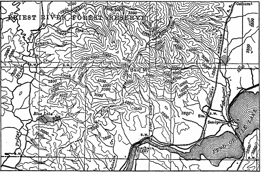
Description: A contour map from 1911 of the southern end of the Cabinet Mountains, Idaho, near Baldwin Ferry and Lake Pend Oreille.
Place Names: Idaho, Colburn, �Sandpoin
ISO Topic Categories: elevation,
inlandWaters,
location
Keywords: Cabinet Mountains, physical, �transportation, physical features,
topographical, railroads, elevation,
inlandWaters,
location, Unknown, 1911
Source: Isaiah Bowman, Ph. D, Forest Physiography (New York, NY: John Wiley and Sons, 1911) 305
Map Credit: Courtesy the private collection of Roy Winkelman |
|