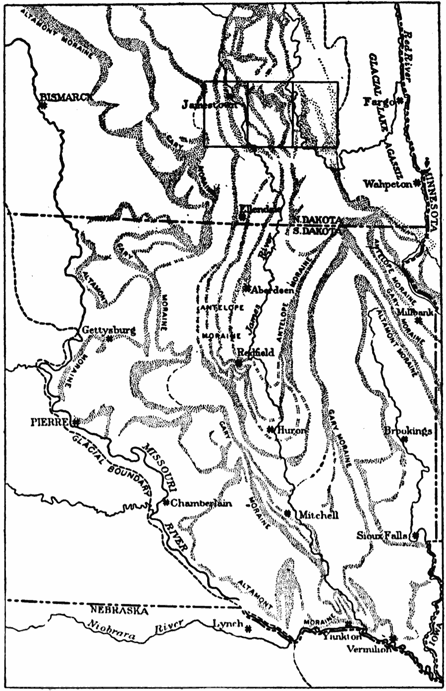
Description: The southern limit of the Pleistocene ice sheet and distribution of moraines of the Dakota glacial lobe, North and South Dakota.
Place Names: Midwest States, North Dakota, �South Dakot
ISO Topic Categories: boundaries,
inlandWaters,
geoscientificInformation,
location
Keywords: Dakota Glacial Lobe, physical, �political, kGlacial, physical features, major political subdivisions, boundaries,
inlandWaters,
geoscientificInformation,
location, Unknown, 1911
Source: Isaiah Bowman, Ph. D, Forest Physiography (New York, NY: John Wiley and Sons, 1911) 474
Map Credit: Courtesy the private collection of Roy Winkelman |
|