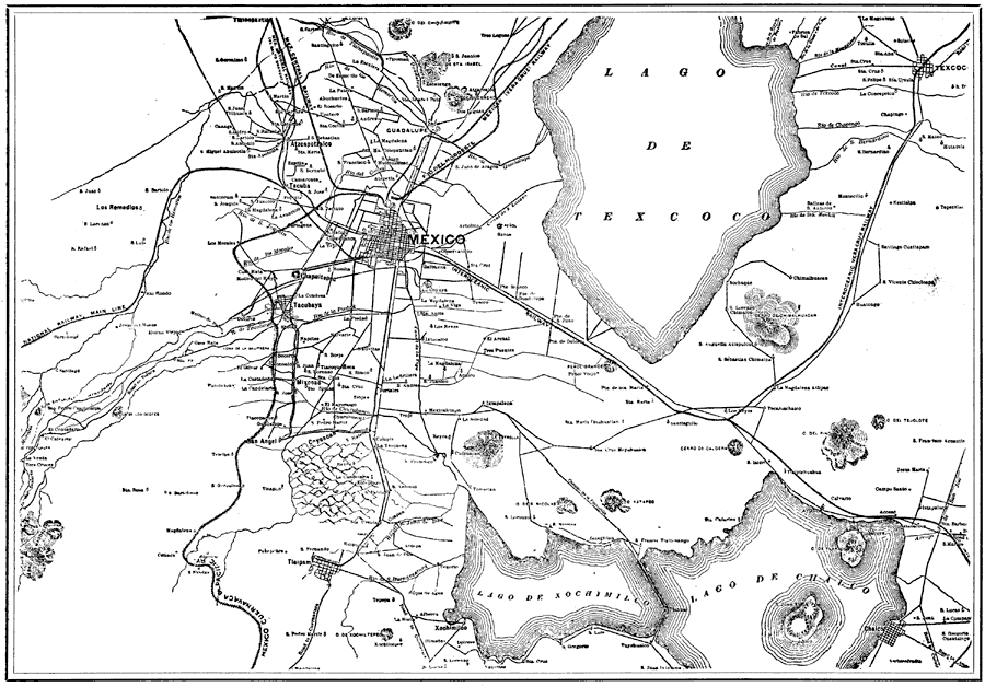
Description: "The city [Mexico City] is in what is called the Federal District, covering an area of some four hundred and fifty square miles – the government of the district like the District of Columbia is directed, by the national legislature, administered by the Ayuntimiento, or city council, the city and district being presided over by a Governor appointed by the President of the Republic. The population of the district is in round numbers nearly 600,000, and the city proper about 400,000." — Campbell, 1907
Place Names: Mexico, Mexico City, �Lago de Texcoco, �Lago de xochimilco, �Lago de Chalco, �Texcoco, �Tlalpam, �Coyoacan,
ISO Topic Categories: location,
transportation
Keywords: City of Mexico and Suburban Towns, physical, �political, �transportation, physical features,
topographical, local jurisdictions, roads,
railroads, location,
transportation, Unknown, 1899
Source: Reau Campbell, Complete Guide and Descriptive Book of Mexico (Chicago, IL: Rogers and Smith Company, 1907) 325
Map Credit: Courtesy the private collection of Roy Winkelman |
|