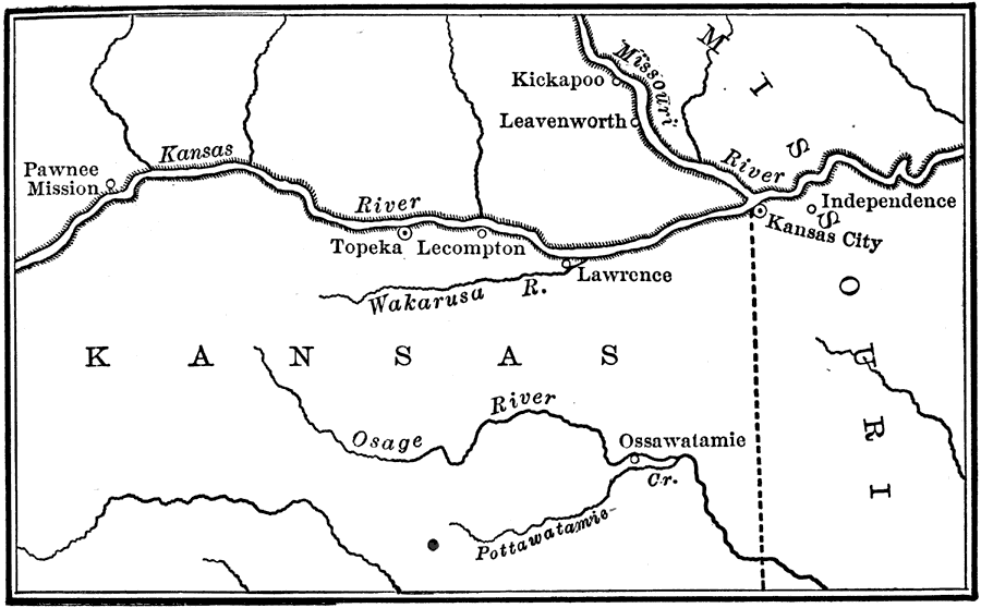
Description: Site of the Wakarusa War in Kansas.
Place Names: Kansas, Independence, �Kansas, �Lawrence, �Lecompton, �Missouri, �Ossawatamie, �Topeka,
ISO Topic Categories: location,
inlandWaters,
boundaries
Keywords: Bleeding Kansas, historical, �physical, �slavery, �Wakarusa War, physical features, historical event,
Civil War, location,
inlandWaters,
boundaries, Unknown, 1855–1857
Source: Nathaniel Wright Stephenson, An American History (Boston, MA: Ginn and Company, 1913) 393
Map Credit: Courtesy the private collection of Roy Winkelman |
|