Hachures
| View Cart ⇗ | Info
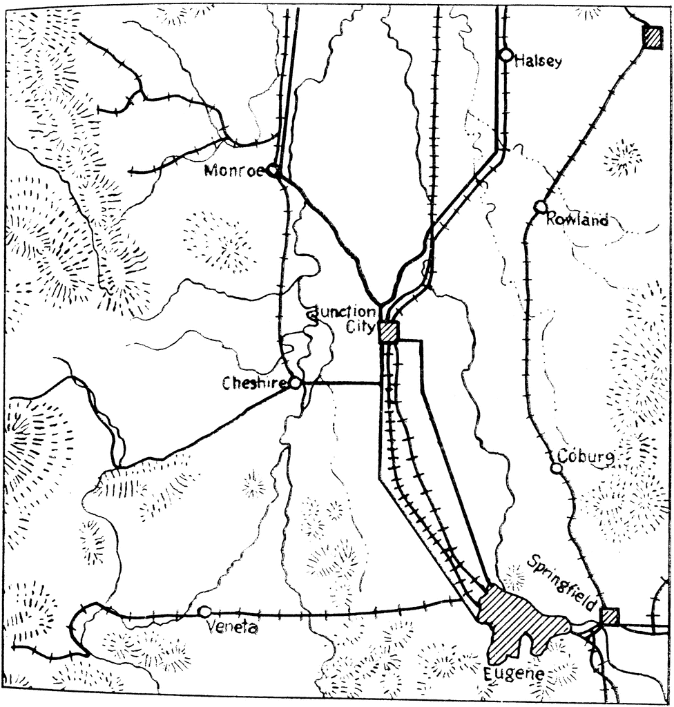
Showing relief on a map using hachures: short parallel lines. Close together is a steeper incline, farther apart represents a more gradual incline.
Galleries
TopographySource
Chief of Engineers Advance Map and Aerial Photograph Reading (Washington, DC: United States Government Printing Office, 1941)
Downloads
2288×2400, 651.1 KiB
976×1024, 129.8 KiB
610×640, 69.5 KiB
305×320, 26.6 KiB