1934 Survey of Fort Matanzas, Historic American Buildings Survey, No 15-5, Sheets 1 to 12
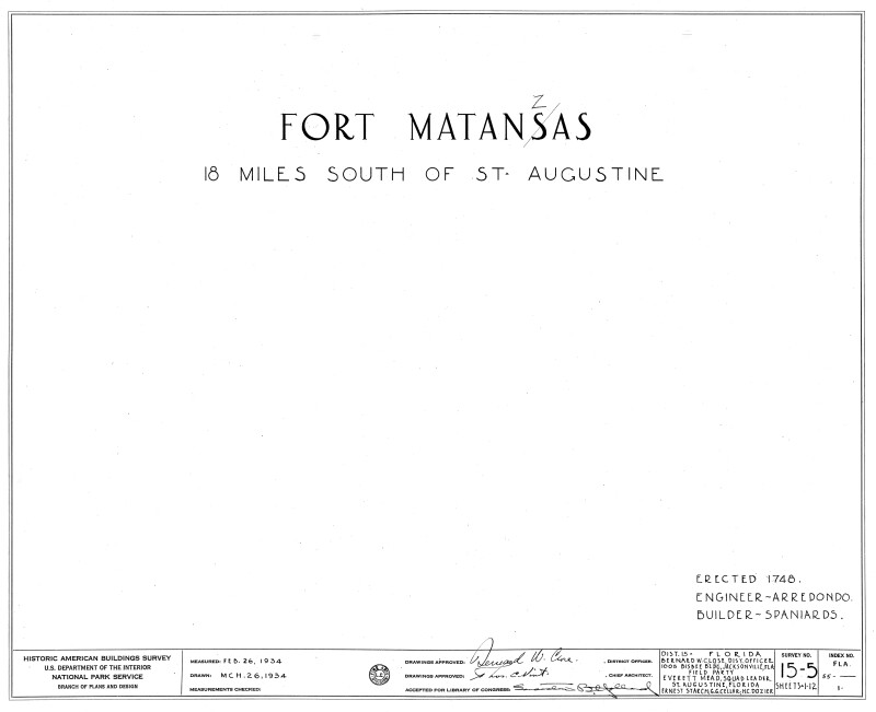
This is the introduction sheet to the 1934 survey of Fort Matanzas. The survey contains a total of 12 sheets. The fort was erected 1748 and it is located 18 miles south of St. Augustine. Drawn on March 26, 1934. Survey No. 15-5, Sheets 1 - 12. Plans produced by the Historic American Buildings Survey, U.S. Department of the Interior, National Park Service, Branch of Plans and Design.Galleries:Fort Matanzas Architectural Drawings, Forts and Fortifications, St. JohnsKeywords:Fort Matanzas National Park, Forts, National Monument, Saint Augustine, Spanish fort, St. Augustine, St. Johns County, surveyPhoto Location: Fort Matanzas National Monument, St. Johns County, FloridaPhotographer: Historic American Buildings SurveyDate of Photo: 04/09/1934Original Dimensions: 5000×4072Picture Orientation: LandscapeGPS Coordinates: 29°42′55″N 81°14′21″WPicture Number: 26668
WARNING: You are about to download a 1.0 MB TIFF!
Normally such a large file is only needed for high quality printing purposes. If you are certain that you need such a large file, click the DOWNLOAD button to begin.
If you do not wish to download the large TIFF, just click the × in the top right-hand corner to close this alert.