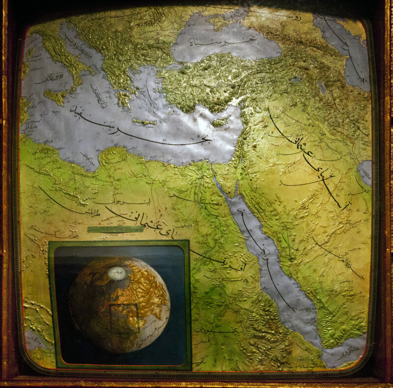
This photo gives a full-view of a map which shows the territories of the Ottoman Empire in 1901 and is located at the Museum of Turkish and Islamic Art in Istanbul.Galleries:Maps, Turkish and Islamic Arts MuseumKeywords:1901, colonel halil ibrahim, full view, istanbul, map of the ottoman empire, museum of turkish and islamic art, osmanlı devleti haritası, turkeyPhoto Location: Museum of Turkish and Islamic Art, Istanbul, TurkeyPhotographer: Dr. Roy WinkelmanDate of Photo: 05/16/2012Device Make: CanonDevice Model: Canon EOS 5D Mark IIExposure Time: 0.05F Number: 16Original Dimensions: 3448×3410Picture Orientation: LandscapeGPS Coordinates: 41°0′22.68″N 28°58′28.42″EPicture Number: 22816
WARNING: You are about to download a 30.8 MB TIFF!
Normally such a large file is only needed for high quality printing purposes. If you are certain that you need such a large file, click the DOWNLOAD button to begin.
If you do not wish to download the large TIFF, just click the × in the top right-hand corner to close this alert.