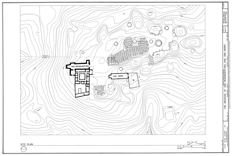
Locator Map for San Buenaventura and San Isidro Missions at Gran Quivira
Gran Quivira (also known as Las Humanas) is one of three pueblo missions making up the Salinas Pueblo Missions National Monument in New Mexico.
Drawn in 1986 by Jean Pike as a part of the Historic American Buildings Survey. Drawing was downloaded from the Library of Congress Prints and Photographs Division Washington, D.C. and photo edited by the Florida Center for Instructional Technology.
WARNING: You are about to download a 1.8 MB TIFF!
Normally such a large file is only needed for high quality printing purposes. If you are certain that you need such a large file, click the DOWNLOAD button to begin.
If you do not wish to download the large TIFF, just click the × in the top right-hand corner to close this alert.