|
|
|
| Maps > United States > Industry |
A collection of industrial production and manufacturing district maps in the United States for use in the K-12 classroom.
|
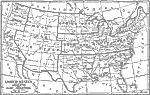
United States Showing Products and Chief Industries,
1921 |
| First | Previous |
| Maps > United States > Industry |
Maps ETC is a part of the Educational Technology Clearinghouse
Produced by the Florida Center for Instructional Technology © 2009
College of Education, University of South Florida