Maps Site map
  Maps > United States > South Carolina
Site Map  

  Record   11   to   14  of   14

A collection of historic and contemporary political and physical maps of South Carolina for use in the K-12 classroom.
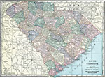
South Carolina, 1920
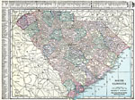
A map from 1920 of South Carolina showing the capital Columbia, counties and county seats, principal cities and towns, railroads, rivers, and coastal features....

South Carolina, 1920
A map from 1920 of South Carolina showing the capital Columbia, counties and county seats, principal cities and towns, railroads, rivers, and coastal features. A grid reference in the margins of the map lists counties, principal cities, and towns of ...

South Carolina, 1920
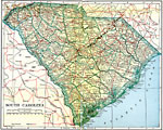
A map from 1920 of South Carolina showing the capital Columbia, counties and county seats, principal cities and towns, railroads, rivers, and coastal features....

South Carolina, 1922
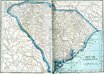
A map from 1922 of South Carolina showing the capital Columbia, principal cities and towns, railroads, rivers, and coastal features....

First Previous


  Maps > United States > South Carolina
Site Map  

Maps ETC is a part of the Educational Technology Clearinghouse
Produced by the Florida Center for Instructional Technology © 2009
College of Education, University of South Florida