Maps Site map
  Maps > United States > Wyoming
Site Map  

  Record   1   to   10  of   14

A collection of historic and contemporary political and physical maps of Wyoming, including geomorphic maps, for use in the K-12 classroom.

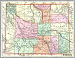
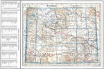
Wyoming, 1891
A map from 1891 of Wyoming showing the capital, Cheyenne, principal cities and towns, railroads, mountains, lakes, rivers, and the Yellowstone National Park....

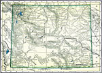
Wyoming, 1892
A map from 1892 of Wyoming showing the capital, Cheyenne, counties and county seats, principal cities and towns, railroads, mountains, rivers, and Yellowstone National Park....

Wyoming, 1902
A map from 1902 of Wyoming showing the capital, Cheyenne, counties and county seats, principal cities and towns, railroads, mountains, and rivers....

Wyoming, 1904
A map from 1904 of Wyoming showing the capital, Cheyenne, counties and county seats, principal cities and towns, railroads, mountains, and rivers. "Wyoming has an area of 90,890 square miles, and a population of 92,531. First settlement made in ...

Wyoming, 1909
A map from 1909 of Wyoming showing the capital, Cheyenne, principal cities and towns, Indian reservations, railroads, mountains, lakes, rivers, and Yellowstone National Park....

Central Rockies, 1911
A map from 1911 of the central Rockies in Wyoming, showing the location of principal ranges....

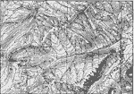
Absaroka Range, 1911
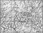
A contour map from 1911 showing the topography of the Absaroka Range 10 miles east of Yellowstone National Park. ...

Encampment District, 1911
A contour map showing the mature profiles, long gentle spurs, and rounded summits of the mountains of the Encampment district, south–central Wyoming. ...

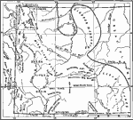
Glacier Systems of the Bighorns, 1911
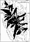
A map from 1911 showing the extent of the glacier systems of the Bighorns at the time of their maximum development....

Wyoming, 1914
A map from 1914 of Wyoming showing the capital, Cheyenne, counties and county seats, Indian reservations, principal cities and towns, railroads, mountains, rivers, and the Yellowstone National Park. A grid reference in the margin of the map lists cou...

Next Last


  Maps > United States > Wyoming
Site Map  

Maps ETC is a part of the Educational Technology Clearinghouse
Produced by the Florida Center for Instructional Technology © 2009
College of Education, University of South Florida