|
|
|
| Maps > Europe > France |
Historic and contemporary maps of France, including political and physical maps, early empires, WWI, city plans, and battle plans.
|
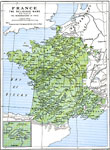
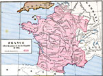
France - The Religious Wars,
1598–1622 |
|
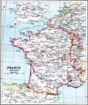
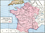
France,
1618–1648 |
|
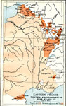
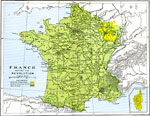
Eastern France,
1643–1715 |
|
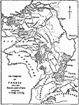
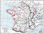
The Frontier of France,
1648–1659 |
|
France after the peace of Aix-la-Chapelle,
1668 |
|
France after the peace of Nimnegan,
1678 |
|
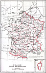
France before the Revolution,
1715–1789 |
|
France,
1769–1789 |
|
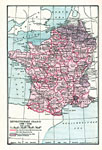
France before the Revolution,
1789 |
|
Revolutionary France,
1789–1795 |
| First | Previous | Next | Last |
| Maps > Europe > France |
Maps ETC is a part of the Educational Technology Clearinghouse
Produced by the Florida Center for Instructional Technology © 2009
College of Education, University of South Florida