|
|
|
| Maps > Europe > France |
Historic and contemporary maps of France, including political and physical maps, early empires, WWI, city plans, and battle plans.
|
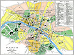
Paris during the Revolution,
1789–1799 |
|
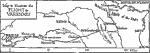
Flight to Varennes,
1791 |
|
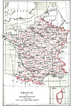
France by Departments,
1791 |
|
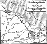
North Eastern Frontier of France,
1792 |
|
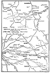
Eastern Frontier of France,
1792–1795 |
|
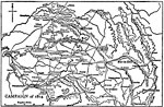
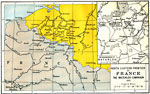
Sketch Map to Illustrate Military Campaigns in France,
1792–1815 |
|
Napoleon's Campaign,
1814 |
|
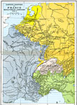
France,
1814–1871 |
|
North Eastern Frontier of France and Waterloo,
1815 |
|
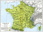
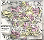
France in Provinces,
1859 |
| First | Previous | Next | Last |
| Maps > Europe > France |
Maps ETC is a part of the Educational Technology Clearinghouse
Produced by the Florida Center for Instructional Technology © 2009
College of Education, University of South Florida