|
|
|
| Maps > Europe > Ireland |
A collection of historic and contemporary maps of Ireland, including detailed travel maps.
|
Ireland during the Tudor Period,
1485–1603 |
|
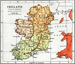
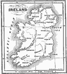
Ireland,
1494 |
|
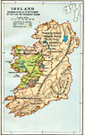
Ireland,
1558–1652 |
|
Ireland during the Stuart and Brunswick Period,
1605–1714 |
|
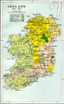
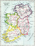
Ireland,
1641–1892 |
|
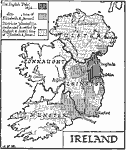
Ireland according to the Act of Settlement ,
1653 |
|
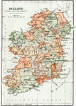
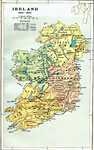
Ireland,
1660–1800 |
|
Ireland,
1689 |
|
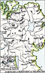
Campaign in Northeast Ireland,
1690 |
|
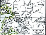
Western Ireland,
1691 |
| Next | Last |
| Maps > Europe > Ireland |
Maps ETC is a part of the Educational Technology Clearinghouse
Produced by the Florida Center for Instructional Technology © 2009
College of Education, University of South Florida