|
|
|
| Maps > Europe > Ireland |
A collection of historic and contemporary maps of Ireland, including detailed travel maps.
|
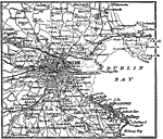
Dublin, Ireland,
1914 |
|
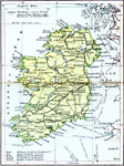
Ireland Communications,
1920 |
|
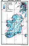
Ireland Climate,
1920 |

|
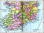
Ireland Plate I,
1920 |
|
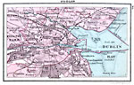
Dublin,
1920 |
|
Ireland Plate II,
1920 |
|
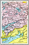
Killarney District,
1920 |
|
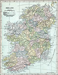
Ireland,
1920 |

|
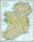
Ireland,
1920 |
|
Ireland,
1920 |
| First | Previous | Next | Last |
| Maps > Europe > Ireland |
Maps ETC is a part of the Educational Technology Clearinghouse
Produced by the Florida Center for Instructional Technology © 2009
College of Education, University of South Florida