|
|
|
| Maps > Europe > France |
Historic and contemporary maps of France, including political and physical maps, early empires, WWI, city plans, and battle plans.
|
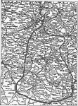
Detail Map of the Picardy Drive,
1916 |
|
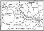
Paris and Havre,
1916 |
|
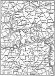
Battles of the Somme,
1916–1918 |
|
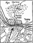
German Lines,
1918 |
|
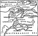
Toulon Bay,
1919 |
|
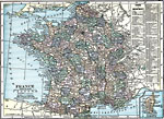
France,
1919 |
|
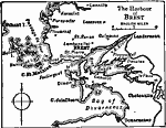
The Harbor of Brest,
1919 |
|
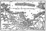
Cherbourg Harbor,
1919 |
|
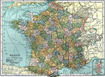
France,
1920 |
|
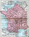
France,
1920 |
| First | Previous | Next | Last |
| Maps > Europe > France |
Maps ETC is a part of the Educational Technology Clearinghouse
Produced by the Florida Center for Instructional Technology © 2009
College of Education, University of South Florida