Maps Site map
  Maps > North America > Complete Maps
Site Map  

  Record   31   to   40  of   90

Historic and contemporary maps of North America, including physical and political maps, early exploration maps, colonization period, Native American distribution, climate maps, relief maps, population density and distribution maps, vegetation maps, and economic/resource maps.
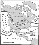
North American Heat Belts, 1901
A base map from 1901 of North America, Central America, Greenland, and the Caribbean to Puerto Rico showing the heat belts of the region. The map shows the isotherm boundaries of the cold belt in January with a mean temperature of 30° Fahrenheit,...

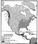
North American Rainfall, 1901
A map from 1901 of North America, Central America, Greenland, and the Caribbean to Puerto Rico showing the general distribution of rainfall in the region. The map shows areas of little or no rainfall to areas of heavy rainfall. The map also shows the...

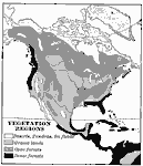
North American Vegetation Regions, 1901
A map from 1901 of North America, Central America, Greenland, and the Caribbean to Puerto Rico showing the general vegetation regions. The map shows areas of deserts, tundras, and ice fields, areas of grassy lands, areas of open forests, and areas of...

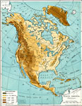
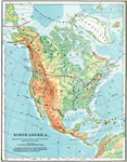
North America, 1901
A map from 1901 of North America, Central America, the Caribbean, and Greenland showing general land elevations, mountain systems, rivers, coastal features, and ocean currents. The map is color–coded to show land elevations ranging from below s...

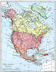
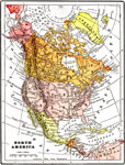
North America, 1901
A map from 1901 of North America, Central America, the Caribbean, and Greenland (Danish America) showing the political boundaries at the time. The map shows capitals and major cities, mountain systems, lakes, rivers, coastal features, and islands. An...

North America, 1902
A map from 1902 of North America showing national boundaries, terrain features, and general land elevations for the region. The map is color–coded to show highlands over 2000 feet above sea level in buff tints, lowlands in greens, and the subme...

North America, 1903
A map from 1903 of North America. The focus of this map is the Dominions of Canada, showing the transportation network in from Montreal east to Quebec and Nova Scotia, and west to Vancouver, British Columbia. The map shows the territorial divisions o...

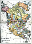
North America, 1904
A map from 1904 of North America, Central America, Greenland, and the Caribbean showing political boundaries at the time, capitals and major cities, mountain systems, lakes, rivers, and coastal features of the region....

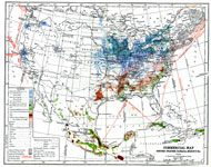
Commercial Map: United States, Canada, Mexico, 1904
North American commercial activities including: major agricultural crops (barley, corn, wheat, coffee, tobacco, et cetera) and secondary agricultural crops (oranges, lumber, wine); primary mining extraction (coal, gold, silver, petroleum, et cetera);...

North America, 1905
A map from 1905 of North America, Central America, Caribbean and Greenland showing political boundaries at the time, major cities, lakes, rivers, and coastal features of the region....

First Previous Next Last


  Maps > North America > Complete Maps
Site Map  

Maps ETC is a part of the Educational Technology Clearinghouse
Produced by the Florida Center for Instructional Technology © 2009
College of Education, University of South Florida