|
|
|
| Maps > North America > Regional Maps |
Regional maps of North America, which include several selections of countries and nations displaying physical and political features, economy, discovery, and more.
|
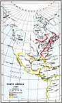
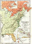
North America,
1740 |
|
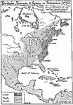
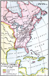
North America,
1750 |

|
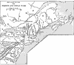
French Posts and Forts in Louisiana and New France,
1754 |
|
French and Indian Wars,
1754–1763 |

|
Central North America,
1755 |
|
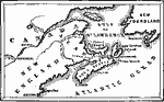
Acadia, Cape Breton Island, and Nova Scotia,
1755 |

|
North American Colonies,
1755–1763 |
|
North America illustrating the Conquest of Canada and the War of Independence,
1757–1783 |
|
North America,
1763 |
|
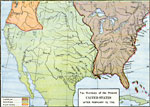
The Territory of the present United States after February 10,
1763 |
| First | Previous | Next | Last |
| Maps > North America > Regional Maps |
Maps ETC is a part of the Educational Technology Clearinghouse
Produced by the Florida Center for Instructional Technology © 2009
College of Education, University of South Florida