|
|
|
| Maps > North America > Regional Maps |
Regional maps of North America, which include several selections of countries and nations displaying physical and political features, economy, discovery, and more.
|
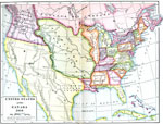
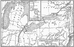
United States, Mexico, and Canada,
1810 |
|
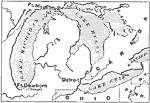
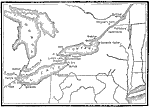
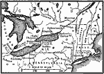
The Great Lakes,
1812 |
|
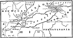
The War of 1812 on the Canadian Border,
1812 |
|
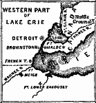
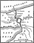
Western Part of Lake Erie,
1812 |
|
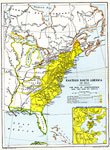
Eastern North America,
1812 |
|
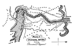
Sketch of the Niagara River between Queenston and Chippewa,
1812 |
|
War of 1812 Map of Main Operations,
1812 |
|
Niagara River during the War of 1812,
1812–1814 |
|
Seat of War,
1812–1814 |
|
Northern Campaign,
1812–1814 |
| First | Previous | Next | Last |
| Maps > North America > Regional Maps |
Maps ETC is a part of the Educational Technology Clearinghouse
Produced by the Florida Center for Instructional Technology © 2009
College of Education, University of South Florida