|
|
|
| Maps > North America > Regional Maps |
Regional maps of North America, which include several selections of countries and nations displaying physical and political features, economy, discovery, and more.
|
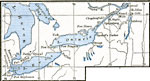
Northern Theater of the War of 1812,
1812–1814 |
|
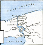
Niagara River during the War of 1812,
1812–1814 |
|
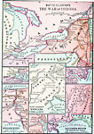
The War of 1812,
1812–1815 |
|
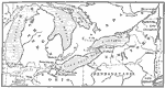
Scene of Operations in the War of 1812,
1812–1815 |
|
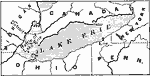
Lake Erie,
1813 |
|
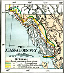
The Alaskan Boundary Dispute,
1825–1903 |
|
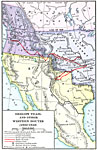
Oregon Trail and Other Routes,
1832–1842 |
|
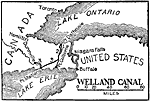
Welland Canal,
1833–1871 |
|
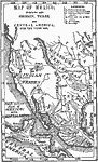
Mexico and Western North America,
1845 |
|
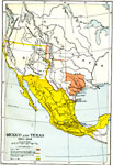
Mexico and Texas,
1845–1848 |
| First | Previous | Next | Last |
| Maps > North America > Regional Maps |
Maps ETC is a part of the Educational Technology Clearinghouse
Produced by the Florida Center for Instructional Technology © 2009
College of Education, University of South Florida