|
|
|
| Maps > North America > Regional Maps |
Regional maps of North America, which include several selections of countries and nations displaying physical and political features, economy, discovery, and more.

|
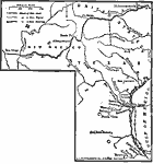
Palo Alto to Buena Vista during the Mexican–American War,
1846–1847 |

|
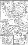
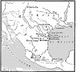
The Campaigns of the Mexican War,
1846–1847 |
|
War with Mexico,
1846–1848 |
|
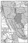
The Mexican–American War,
1846–1848 |
|
The Mexican War,
1846–1848 |
|
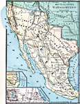
War with Mexico,
1846–1848 |
|
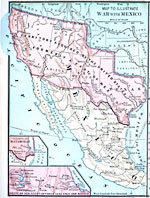
War with Mexico,
1846–1848 |

|
The Mexican War – Gen. Taylor's Operations in Northern Mexico,
1846–1848 |
|
The Mexican War,
1846–1848 |
|
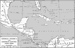
Central America and Isthmian Routes,
1846–1860 |
| First | Previous | Next | Last |
| Maps > North America > Regional Maps |
Maps ETC is a part of the Educational Technology Clearinghouse
Produced by the Florida Center for Instructional Technology © 2009
College of Education, University of South Florida