|
|
|
| Maps > South America > Complete Maps |
Historic and contemporary maps of South America, including physical and political maps, early exploration and colonization period, climate maps, relief maps, population density and distribution maps, vegetation maps, and economic/resource maps.

|
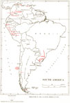
Rain Patterns and the Trade Winds of South America,
1910 |
|
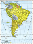
South America,
1910 |
|
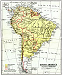
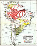
South America Political Formation,
1911 |
|
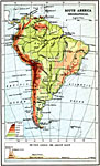
Orographical Map of South America,
1911 |
|
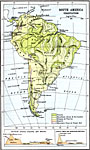
Vegetation Distribution of South America,
1911 |
|
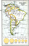
Political South America,
1911 |
|
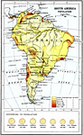
Population Density of South America,
1911 |
|
Railways and Economic Regions of South America,
1911 |
|
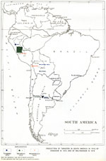
South American Production of Tungsten, Vanadium, and Molybdenum,
1912–1915 |
|
Production of coal in South America,
1913 |
| First | Previous | Next | Last |
| Maps > South America > Complete Maps |
Maps ETC is a part of the Educational Technology Clearinghouse
Produced by the Florida Center for Instructional Technology © 2009
College of Education, University of South Florida