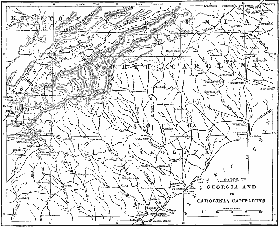
Description: A map of the parts of Virginia, Tennessee, North Carolina, South Carolina and Georgia involved in the Georgia and the Carolinas campaigns of the American Civil War. The map shows major cities, towns, and ports, railroads, mountain systems, rivers, and coastal features.
Place Names: Civil War, Marietta, Dmyrna, Decatur, Macon, Columbus, Acworth, Atlanta, Chattanooga, Knoxville, Cumberland Gap, Monticello, Ashville, Greenville, Charlotte, Salisbury, Fayetteville, Bentonvill
ISO Topic Categories: location,
inlandWaters,
transportation
Keywords: The Theatre of Georgia and Carolinas Campaigns, physical, �transportation, �historical, �civil war, theatre of georgia and the carolinas campaign, physical features, railroads, Civil War, location,
inlandWaters,
transportation, Unknown, 1861-1865
Source: Theodore Ayrault Dodge, A Bird's-Eye View of our Civil War (Boston, MA: Houghton, Mifflin and Company, 1897) 34-35
Map Credit: Courtesy the private collection of Roy Winkelman |
|