Maps Site map
  Maps > United States > Civil War
Site Map  

  Record   1   to   10  of   137

A collection of historic maps of the American Civil War, including regional seats of the war, battle and campaign maps, and territories held by Confederate and Union forces.
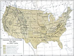
Progress of Emancipation, 1850–1865
A map of the United States showing the progress of emancipation between 1850 and 1865. The map shows the states and territories during this period, and notes the stage of emancipation and dates of change, and is coded to show areas of Union States fr...

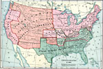
The United States at the Outbreak of the Civil War, 1860–1861
A map of the United States at the outbreak of the Civil War (1860–1861) showing the States that seceded to form the Confederate States of America. The map also shows the territorial boundaries of the Washington Territory, Dakota Territory, Nebr...

The United States Secession, 1860–1861
A map showing the secession of the Confederate States from the Union, from the secession of South Carolina (December 20, 1860) to the secession of Tennessee (June 8, 1861). The map is color–coded to show the Federal States and territory (includ...

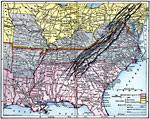
First Defenses of the South during the American Civil War, 1860–1865
A map from 1920 of the Southeastern States showing the South's first line of defenses during the American Civil War (1861–1865). The map is color–coded to show the eastern Confederate States (indicating the States seceding before and afte...

United States at the outbreak of the Civil War, 1861
A map of the United States and territories in 1861 at the outbreak of the Civil War. The map is color–coded to show the Union Free States, the Confederate States seceded before April 15, 1861, the Confederate States seceded after April 15, 1861...

Campaigns in Missouri, 1861
A map of Missouri showing the operations in the area during the first year of the American Civil War (1861). The map shows the cities of St. Louis, Jefferson City, and Springfield, the routes of Union campaigns, and the engagements at Boonville, Cart...

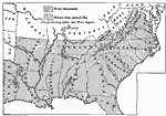
Secession of the South, 1861
A map of the Southern States during Secession, showing the states which first seceded (before April 15, 1861), and those which followed after the outbreak of the American Civil War....

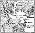
Charleston Harbor, 1861
A detailed map of Charleston Harbor, South Carolina, in April, 1861 at the beginning of the American Civil War, and site of the Battle of Fort Sumter (April 12–13, 1861). The map shows the city of Charleston and railroads, rural roads, waterway...

Charleston Harbor, 1861
A map of the Charleston Harbor, South Carolina, site of the Battle of Fort Sumter (April 12–13, 1861) at the outbreak of the American Civil War. The map shows the city of Charleston and railroads, the Union held Fort Sumter at the mouth of the ...

Territory held by the Confederates at the close of 1861, 1861
A map of the United States showing the territory held by the Confederacy at the close of 1861....

Next Last


  Maps > United States > Civil War
Site Map  

Maps ETC is a part of the Educational Technology Clearinghouse
Produced by the Florida Center for Instructional Technology © 2009
College of Education, University of South Florida