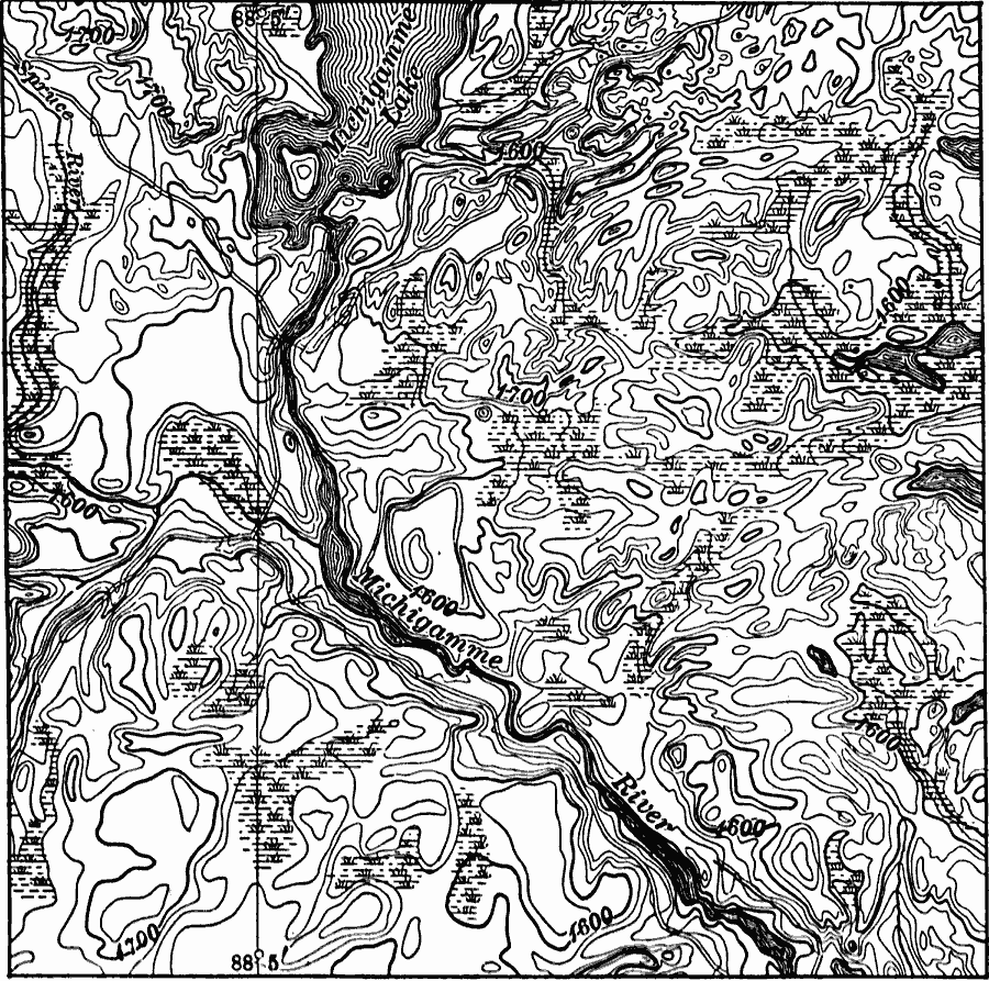
Description: A contour map from 1911 showing the typical drainage irregularities in the glaciated physiographic province of the Lake Superior Highlands.
Place Names: Michigan,
ISO Topic Categories: boundaries,
inlandWaters,
location,
elevation
Keywords: Drainage Irregularities in the Lake Superior Highlands, physical, �hydrological, physical features,
topographical, drainage basins, boundaries,
inlandWaters,
location,
elevation, Unknown, 1911
Source: Isaiah Bowman, Ph. D, Forest Physiography (New York, NY: John Wiley and Sons, 1911) 572
Map Credit: Courtesy the private collection of Roy Winkelman |
|