Maps Site map
  Maps > United States > Michigan
Site Map  

  Record   1   to   10  of   18

A collection of historic and contemporary political and physical maps of Michigan for use in the K-12 classroom.
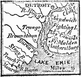
Vicinity of Detroit, 1812
A map of the vicinity of Detroit around the time of the War of 1812, showing Fort Malden, Brownstown, River Rasin, and Monroe. ...

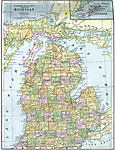
Michigan, 1892
A map from 1892 of Michigan showing the capital city of Lansing, counties and county seats, major cities and towns, railroads, rivers, and lake shoreline. An inset map shows the Isle Royale....

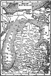
Michigan, 1902
A map from 1902 of Michigan showing major cities and towns, railroads, rivers, and lake shoreline. Inset maps detail Isle Royale and the vicinity of Crystal Falls on the Upper Peninsula....

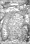
Michigan, 1902
A map from 1902 of Michigan showing major cities and towns, railroads, rivers, and lake shoreline. Inset maps detail Isle Royale and the vicinity of Crystal Falls on the Upper Peninsula....

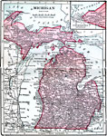
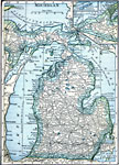
Michigan, 1906
A map from 1906 of Michigan showing the capital city of Lansing, major cities and towns, railroads, rivers, and lake shoreline. An inset map shows the northwestern continuation of the Upper Peninsula....

Michigan, 1909
A map from 1909 of Michigan showing the capital city of Lansing, major cities and towns, railroads, rivers, and lake shoreline. An inset map shows the northwestern continuation of the Upper Peninsula with a detail of Isle Royale....

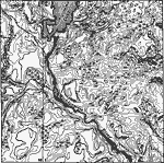
Drainage Irregularities in the Lake Superior Highlands, 1911
A contour map from 1911 showing the typical drainage irregularities in the glaciated physiographic province of the Lake Superior Highlands....

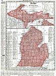
Michigan, 1912
A map from 1912 of Michigan showing the capital city of Lansing, counties and county seats, major cities and towns, railroads, rivers, and lake shoreline. The inset map covers the Upper Peninsula. A grid reference in the margins of the map lists coun...

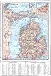
Michigan, 1914
A map from 1909 of Michigan showing the capital city of Lansing, major cities and towns, railroads, rivers, and lake shoreline. An inset map shows the northwestern continuation of the Upper Peninsula with a detail of Isle Royale. A grid reference at ...

Detroit, Michigan, 1914
A city plan from 1914 of Detroit showing city limits, major streets, the Detroit River, railroads and stations, and bridges....

Next Last


  Maps > United States > Michigan
Site Map  

Maps ETC is a part of the Educational Technology Clearinghouse
Produced by the Florida Center for Instructional Technology © 2009
College of Education, University of South Florida