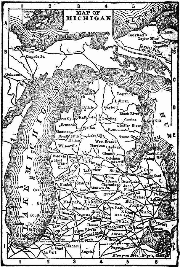
Description: A map from 1902 of Michigan showing major cities and towns, railroads, rivers, and lake shoreline. Inset maps detail Isle Royale and the vicinity of Crystal Falls on the Upper Peninsula.
Place Names: Michigan, Battle Creek, �Detroit, �East Saginaw, �Flint, �Grand Rapids, �Jackson, �Kalamazoo, �Lansing, �Niles, �Pontia
ISO Topic Categories: oceans,
location,
inlandWaters
Keywords: Michigan, borders, �oceans,
location,
inlandWaters, Unknown, 1902
Source: , The New Conklin's Handy Manual of Useful Information and Atlas of the World (Chicago, IL: The Christian Herald, 1902) 401
Map Credit: Courtesy the private collection of Roy Winkelman |
|