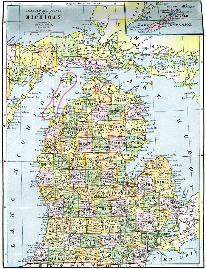
Description: A map from 1892 of Michigan showing the capital city of Lansing, counties and county seats, major cities and towns, railroads, rivers, and lake shoreline. An inset map shows the Isle Royale.
Place Names: Michigan, Grand Rapids, �Lansing, �Detroit, �Pontiac, �East Saginaw, �Flint, �Kalamazoo, �Jackso
ISO Topic Categories: boundaries,
inlandWaters,
location,
transportation
Keywords: Michigan, physical, �political, �transportation, physical features, county borders, railroads, boundaries,
inlandWaters,
location,
transportation, Unknown, 1892
Source: , The American Republic (Chicago, IL: John W. Iliff and Co., 1892) 53
Map Credit: Courtesy the private collection of Roy Winkelman |
|