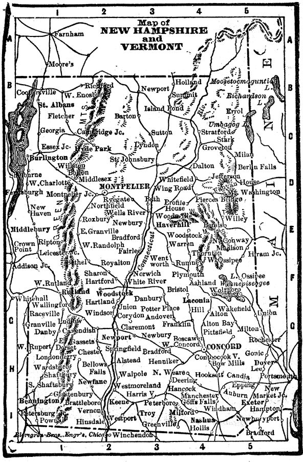
Description: A map from 1898 of New Hampshire and Vermont. "New Hampshire, one of the thirteen original States. Settled by English Puritans at Dover and Portsmouth 1623. Named for Hampshire County, England, called the ‘Granite State.’ Ratified United States constitution June 21, 1788. — Vermont. First settled by Massachusetts emigrants near Brattleboro 1724. First State to join original 13. Called the Green Mountain State." — Edison, 1898.
Place Names: New Hampshire, Montpelier, �St. Albans, �Rutland, �Woodstock, �Burlington, �Haverhall, �Concord, �Bristol, �Portsmouth, �Dover, �Rocheste
ISO Topic Categories: boundaries,
inlandWaters,
location
Keywords: New Hampshire and Vermont, physical, physical features, boundaries,
inlandWaters,
location, Unknown, 1898
Source: Thomas F. Edison, Edison's Handy Encyclopaedia of General Information and Universal Atlas (Chicago, IL: Laird and Lee, 1898) 499
Map Credit: Courtesy the private collection of Roy Winkelman |
|