|
|
|
| Maps > United States > New Hampshire |
A collection of historic and contemporary political and physical maps of New Hampshire, including automobile route maps, for use in the K-12 classroom.
|
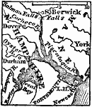
Vicinity of Portsmouth,
1872 |
|
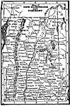
New Hampshire and Vermont,
1898 |
|
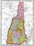
New Hampshire,
1903 |
|
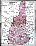
New Hampshire,
1906 |
|
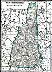
New Hampshire,
1909 |
|
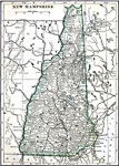
New Hampshire,
1912 |
|
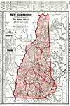
New Hampshire,
1919 |
|
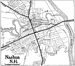
Nashua,
1919 |
|
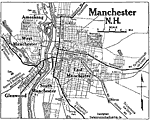
Manchester,
1919 |
|
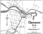
Claremont,
1919 |
| Next | Last |
| Maps > United States > New Hampshire |
Maps ETC is a part of the Educational Technology Clearinghouse
Produced by the Florida Center for Instructional Technology © 2009
College of Education, University of South Florida