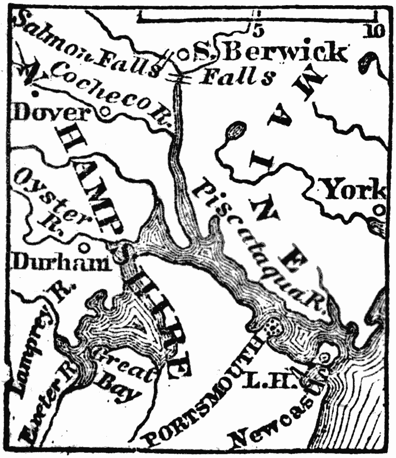
Description: A map from 1872 of the vicinity of Portsmouth, in New Hampshire. Portsmouth is situated on a peninsula on the south side of the Piscataqua, three miles from the ocean.
Place Names: New Hampshire, Durham, �Portsmout
ISO Topic Categories: oceans,
location,
inlandWaters
Keywords: Vicinity of Portsmouth, physical, physical features, major political subdivisions, oceans,
location,
inlandWaters, Unknown, 1872
Source: Marcius Willson, History of the United States (New York, NY: Ivison, Blakeman, Taylor, and Co., 1872) 101
Map Credit: Courtesy the private collection of Roy Winkelman |
|