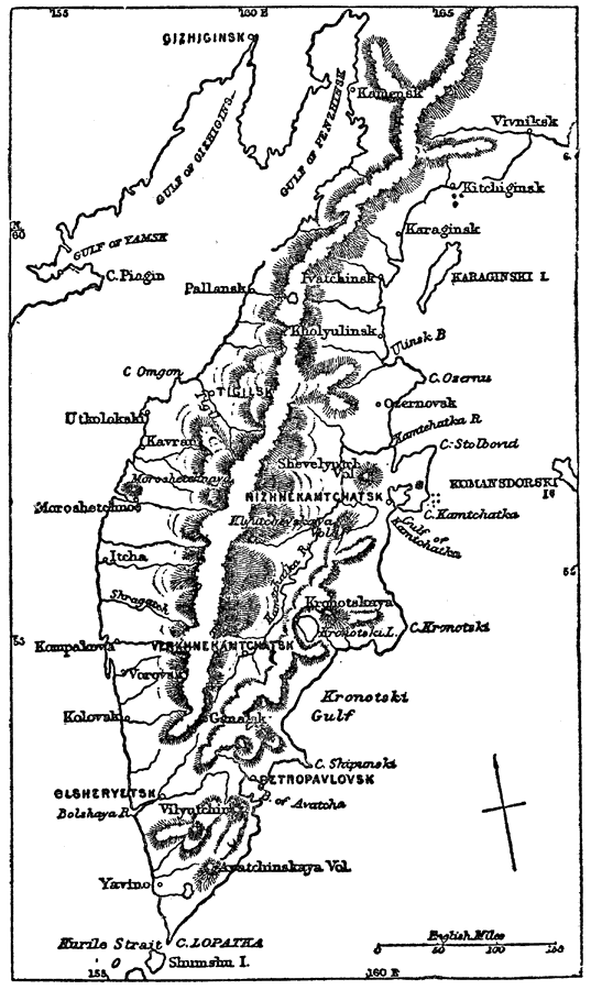
Description: A map from 1903 of the Kamchatka Peninsula in the Russian Far East. The map shows cities, towns and ports, terrain, rivers, coastal features, and surrounding seas of the peninsula.
Place Names: Russia, Karaginsk, �Kitchiginsk, �Kolovak, �Nizhnekamtchatsk, �Olsheryetsk, �Pallansk, �Petropavlovsk,
ISO Topic Categories: oceans,
location,
inlandWaters
Keywords: Kamchatka Peninsula, physical, �political, �transportation, physical features, county borders, roads,
water routes, oceans,
location,
inlandWaters, Unknown, 1903
Source: Spencer Baynes, LL.D., and W. Robertson Smith, LL.D., eds., The Encyclopedia Britannica vol. 13 (New York, NY: The Werner Company, 1903) 831
Map Credit: Courtesy the private collection of Roy Winkelman |
|