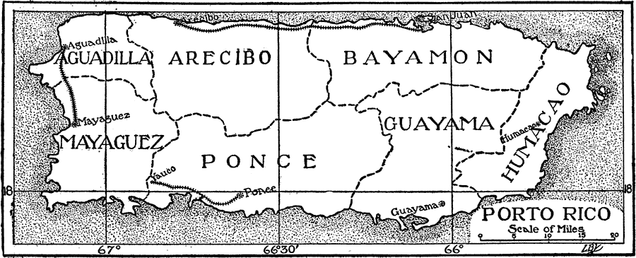
Description: A map from 1906 of Puerto Rico showing the major cities and departments (political subdivisions), and the three major railroads at the time.
Place Names: Puerto Rico, Mayaguez, �Ponce, �San Juan, �Guayama, �Aguadilla, �Arecibo, �Bayamon, �Humacao, �Yauc
ISO Topic Categories: boundaries,
transportation
Keywords: Porto Rico, political, �transportation, country borders,
major political subdivisions, railroads, boundaries,
transportation, Unknown, 1906
Source: L. Brent Vaughn, Hill's Practical Reference Library of General Knowledge Volume III (New York, NY: Dixon, Hanson & Company, 1906)
Map Credit: Courtesy the private collection of Roy Winkelman |
|