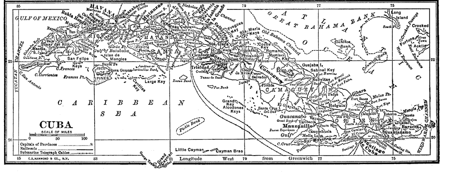
Description: A black and white map from 1912 of Cuba showing the provinces and provincial capitals, major cities and towns, railroads, submarine telegraph cable routes, rivers, terrain and coastal features, reefs, and smaller neighboring islands.
Place Names: Cuba, Havana, �Santiago De Cuba, �Guantanamo, �Manzanillo, �Matanzas, �Santa Clara, �Pinar Del Ri
ISO Topic Categories: boundaries,
inlandWaters,
oceans,
transportation,
utilitiesCommunication
Keywords: Cuba, physical, �political, �transportation, physical features,
topographical, country borders,
major political subdivisions, railroads, boundaries,
inlandWaters,
oceans,
transportation,
utilitiesCommunication, Unknown, 1912
Source: The Manitoba Free Press, The Free Press Almanac Encyclopedia and Atlas (New York, NY: C. S. Hammond & Co., 1912) 111
Map Credit: Courtesy the private collection of Roy Winkelman |
|