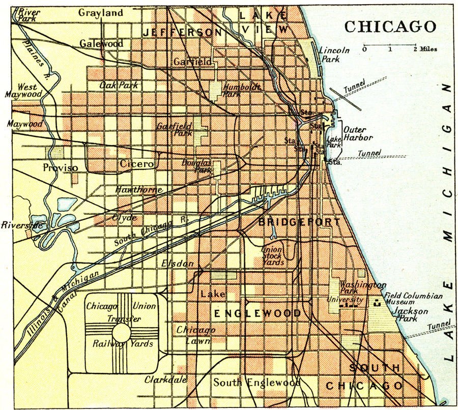
Description: A city plan from 1911 of Chicago showing major streets, railroads and stations, the Chicago Union transfer railway yards, canals, Plaines River, parks, harbor, and major landmarks of the city.
Place Names: Illinois, Chicag
ISO Topic Categories: society
Keywords: Chicago, transportation, economic, roads,
railroads, society, Unknown, 1911
Source: Ernest Rhys, Ed., A Literary and Historical Atlas of North & South America (New York, NY: E.P. Dutton & CO., 1911) 62
Map Credit: Courtesy the private collection of Roy Winkelman |
|