Maps Site map
  Maps > United States > Illinois
Site Map  

  Record   1   to   10  of   26

A collection of historic and contemporary political and physical maps of Illinois, including city plans, geomorphic, and glacial maps, for use in the K-12 classroom.
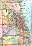
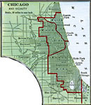
Chicago Vicinity, 1883
A map from 1883 of Chicago and vicinity showing the city limits, neighboring townships, major streets, major landmarks, the drainage canal, parks, Calumet Lake, rivers, and the shoreline of Lake Michigan....

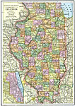
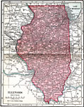
Illinois, 1891
A map from 1891 of Illinois showing the State capital of Springfield, major cities and towns, railroads, canals, the shoreline of Lake Michigan, and the Mississippi and Ohio rivers....

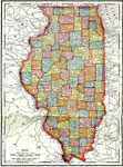
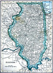
Illinois, 1892
A map from 1892 of Illinois showing the State capital of Springfield, counties and county seats, major cities and towns, railroads, canals, the shoreline of Lake Michigan, and the Mississippi and Ohio rivers....

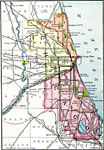
Chicago and Vicinity, 1901
A city plan from 1901 of Chicago and vicinity showing the city limits, major streets, neighboring cities and towns, the Illinois and Michigan canal, parks, stock yards, and the shoreline of Lake Michigan....

Illinois, 1901
A map from 1901 of Illinois showing the State capital of Springfield, counties and county seats, major cities and towns, railroads, canals, the shoreline of Lake Michigan, and the Mississippi and Ohio rivers....

Chicago and Vicinity, 1901
A map from 1901 of Chicago and vicinity showing the city limits, major streets, neighboring cities and towns, major landmarks, the drainage canal, stock yards, parks, Lake Calumet, rivers, and the shoreline of Lake Michigan....

Illinois, 1902
A map from 1902 of Illinois showing the State capital of Springfield, major cities and towns, railroads, canals, the shoreline of Lake Michigan, and the Mississippi and Ohio rivers. An inset map shows the vicinity of Chicago....

Chicago, 1903
A city plan from 1903 of Chicago and vicinity showing the city limits, major streets, neighboring cities and towns, the western drainage canal, parks, Union stock yards, major landmarks, and the shoreline of Lake Michigan....

Illinois, 1906
A map from 1906 of Illinois showing the State capital of Springfield, major cities and towns, railroads, canals, the shoreline of Lake Michigan, and the Mississippi and Ohio rivers....

Illinois, 1909
A map from 1909 of Illinois showing the State capital of Springfield, major cities and towns, railroads, canals, the shoreline of Lake Michigan, and the Mississippi and Ohio rivers....

Next Last


  Maps > United States > Illinois
Site Map  

Maps ETC is a part of the Educational Technology Clearinghouse
Produced by the Florida Center for Instructional Technology © 2009
College of Education, University of South Florida