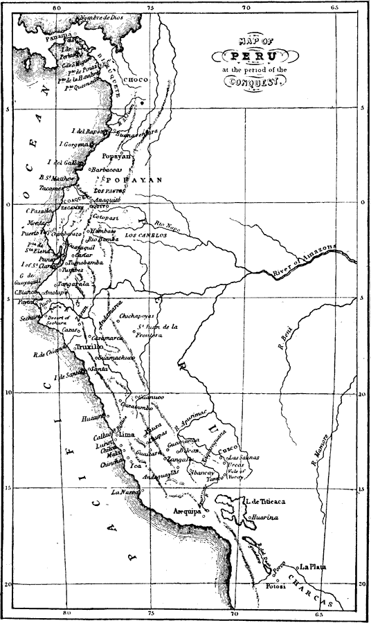
Description: Maps and plans of notable battles and districts connected with famous authors and their books: This is a map of Peru during the time of Spanish conquest.
Place Names: Peru, La Plata, �Popayan, �Choco, �Los Canelos, �Truxill
ISO Topic Categories: society
Keywords: Peru at the Conquest, physical, �historical, physical features,
topographical, economic, society, Unknown, 1532
Source: Ernest Rhys, Ed., A Literary and Historical Atlas of North & South America (New York, NY: E.P. Dutton & CO., 1911) 133
Map Credit: Courtesy the private collection of Roy Winkelman |
|