|
|
|
| Maps > South America > Peru |
A collection of historic and contemporary political and physical maps of Peru, including early exploration maps and significant archeological sites.
|
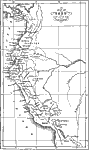
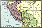
Peru at the Conquest,
1532 |
|
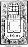
Temple of the Sun,
1534 |
|
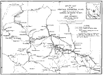
Route Map of the Bingham Peruvian Expedition,
1915 |
|
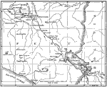
Sketch Map of Southern Peru,
1915 |
|
Peru and Bolivia,
1915 |
| Maps > South America > Peru |
Maps ETC is a part of the Educational Technology Clearinghouse
Produced by the Florida Center for Instructional Technology © 2009
College of Education, University of South Florida