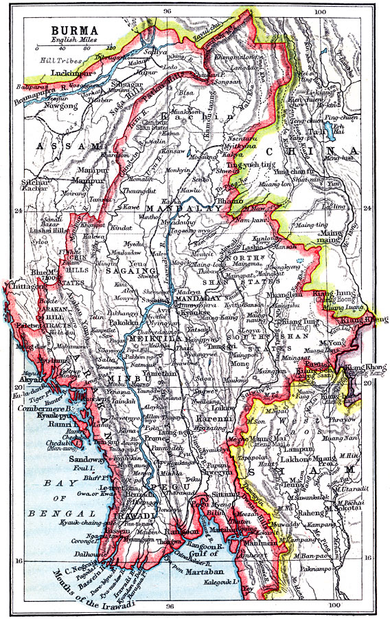
Description: A map from 1912 of Burma (Myanmar), showing the political boundaries of the time, including the frontiers with Siam (Thailand), China, and the British Indian province of Assam. The map shows major cities, railroads, terrain, rivers, the mouths and delta of the Irawadi (Irrawaddy) River, and coastal features of the country as far south as the city of Yey (Yeu).
Place Names: Burma (Myanmar), Mandala
ISO Topic Categories: society
Keywords: Burma, political, �physical, physical features,
topographical, country borders, society, Unknown, 1912
Source: Ernest Rhys, Ed., A Literary and Historical Atlas of Asia (New York, NY: E.P. Dutton & CO., 1912) 67
Map Credit: Courtesy the private collection of Roy Winkelman |
|