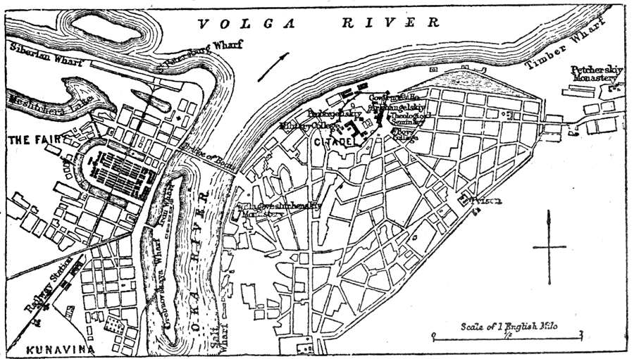
Description: A plan of the Russian city of Nijni–Novgorod (Nizhny–Novgorod, earlier Gorky) from 1903, showing streets, rivers, railways and station, wharfs, and landmarks. On this map, the bridge across the Oka River is shown as a bridge of boats, or a pontoon bridge. Nijni–Novgorod "is situated at the confluence of the Oka and Volga, 276 miles by rail to the east of Moscow." —Kellogg, 1903.
Place Names: Russia, Nijni-Novgorod, �Nijni,�Nijniy, �Oka River, �Volga River,
ISO Topic Categories: transportation,
structure,
inlandWaters
Keywords: Plan of Nijni-Novgorod, physical, �transportation, physical features, roads,
railroads, transportation,
structure,
inlandWaters, Unknown,1903
Source: Day Otis Kellogg, Encyclopædia Britannica Vol. XVII (New York, NY: Werner Company, 1903) 501
Map Credit: Courtesy the private collection of Roy Winkelman |
|