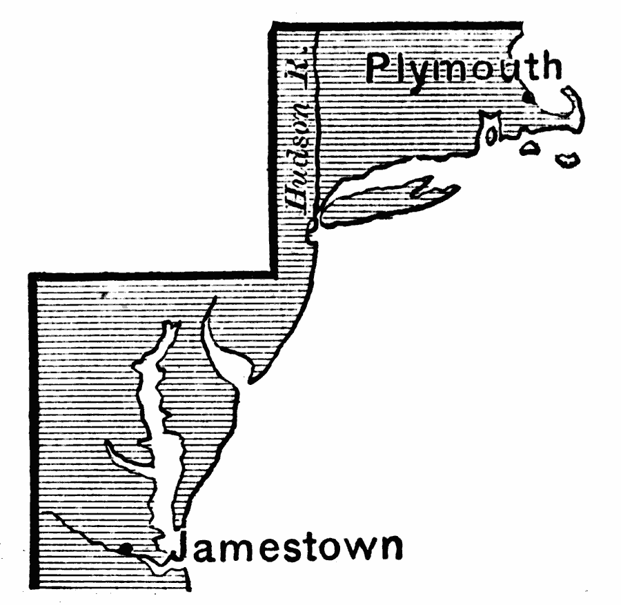
Description: A map of the two principal English settlements in North America under the charters of the Virginia Company, with the London Company (Jamestown—1607) in the south, and the Plymouth Company (Plymouth—1620) in the north.
Place Names: Early America 1400-1800, Jamestown, �Plymouth, �Colonial America, �Englis
ISO Topic Categories: inlandWaters,
location,
oceans
Keywords: Jamestown and Plymouth, physical, physical features, inlandWaters,
location,
oceans, Unknown, 1620
Source: Edward Eggleston, The Household History of the United States and Its People (New York, NY: D. Appleton and Company, 1898) 39
Map Credit: Courtesy the private collection of Roy Winkelman |
|