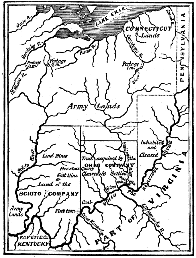
Description: An English facsimile of a map issued by Joel Barlow in Paris (1787) of the area north of the Ohio River, showing the essential parts of a map with his proposals to induce immigration, but the legends are turned into English from the original French. "This map," says Howe, "is inaccurate in its geography and fraudulent in its statements." The country was a wilderness where the map calls it inhabited and cleared — Winsor, 1888. This region corresponds to what was known as the Seven Ranges of Townships, which Congress (May 20, 1785) directed to be sold, under surveys by Thomas Hutchins.
Place Names: Early America 1400-1800, Lake Erie, �Virginia, �Ohio, �Pennsylvania, �Connecticut, �Kentucky,
ISO Topic Categories: boundaries,
inlandWaters
Keywords: Barlow's Map, physical, �political, �historical, physical features, major political subdivisions, historical event, boundaries,
inlandWaters, Unknown,1785
Source: Justin Winsor, Narrative and Critical History of North America Vol. VII (Boston, MA: Houghton, Mifflin and Company, 1888) 532
Map Credit: Courtesy the private collection of Roy Winkelman |
|
