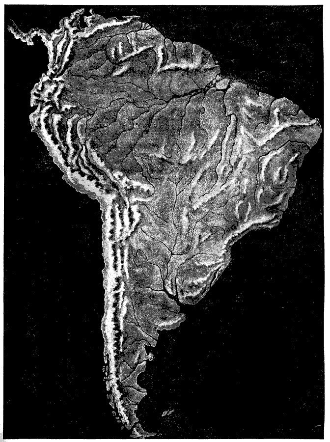
Description: This 1921 map of South America depicts the changes in elevation throughout the continent. The map shows the terrain features, including mountain systems, lowlands, river systems, and coastal features.
Place Names: A Complete Map of South America,
ISO Topic Categories: elevation
Keywords: Relief Map of South America, physical, physical features,
topographical, elevation, Unknown,1921
Source: Ellsworth D. Foster, ed., The American Educator Vol. 7 (Chicago, IL: Ralph Durham Company, 1921) 3351
Map Credit: Courtesy the private collection of Roy Winkelman |
|