Maps Site map
  Maps > South America > Complete Maps
Site Map  

  Record   1   to   10  of   77

Historic and contemporary maps of South America, including physical and political maps, early exploration and colonization period, climate maps, relief maps, population density and distribution maps, vegetation maps, and economic/resource maps.
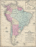
Map of South America, 1858
A map of South America from 1863 showing the national boundaries of the time including New Granada, Venezuela, Guiana (British, Dutch, and French), Equador (Ecuador), Peru, Brazil, Bolivia, Chile, Argentine Confederation, Uruguay, and Patagonia. Majo...

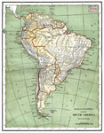
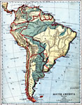
South America (Physical), 1868
A map from 1868 of South America showing the physical features of the region, vegetation types, ocean currents, temperatures, principal products and mineral deposits. Mountain chains are represented by lines of varying thickness, with the broader the...

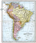
South America, 1870
A map of South America from 1870 showing the political boundaries of the time. The map shows capitals, major cities, ports, rivers, terrain and coastal features. Mountain chains and systems are shown by hatchure. An outline map of Pennsylvania at the...

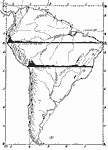
Drawing of South America, 1872
A base map from 1872 illustrating instructions for drawing South America. The map shows the equator, major rivers, mountain systems, and includes two east–west cross–sections showing the central and southern Amazon Basin and Andes....

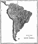
Relief Map of South America, 1872
A relief map from 1872 showing the terrain features of South America, including mountain systems, lowlands, river systems, and coastal features....

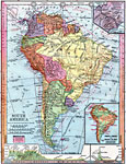
South America, 1872
Physical map of South America with map inserts of the Isthmus of Panama and principal products and sea ports of South America. Included are water currents and routes, railroads, select land elevations, time zones, as well as latitude and temperature ...

South America, 1882
A map from 1882 showing the general highlands and lowlands of South America and the national boundaries at the time. The map is color–coded to show high lands in buff tint and low plains in green. Mountain chains and systems are shown by hatchu...

South America, 1883
Physical map of South America....

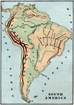
South America, 1885
An orographic map of South America from 1885 showing the primary mountain systems and general elevations. The map is color–coded to show highlands in buff tint, lowlands in green, and the major mountain chains with heavy black lines. The map sh...

South America, 1885
A map of South America from 1885 showing the political boundaries of the time. The map shows capitals, major cities, ports, railroads, rivers, terrain, and coastal features....

Next Last


  Maps > South America > Complete Maps
Site Map  

Maps ETC is a part of the Educational Technology Clearinghouse
Produced by the Florida Center for Instructional Technology © 2009
College of Education, University of South Florida