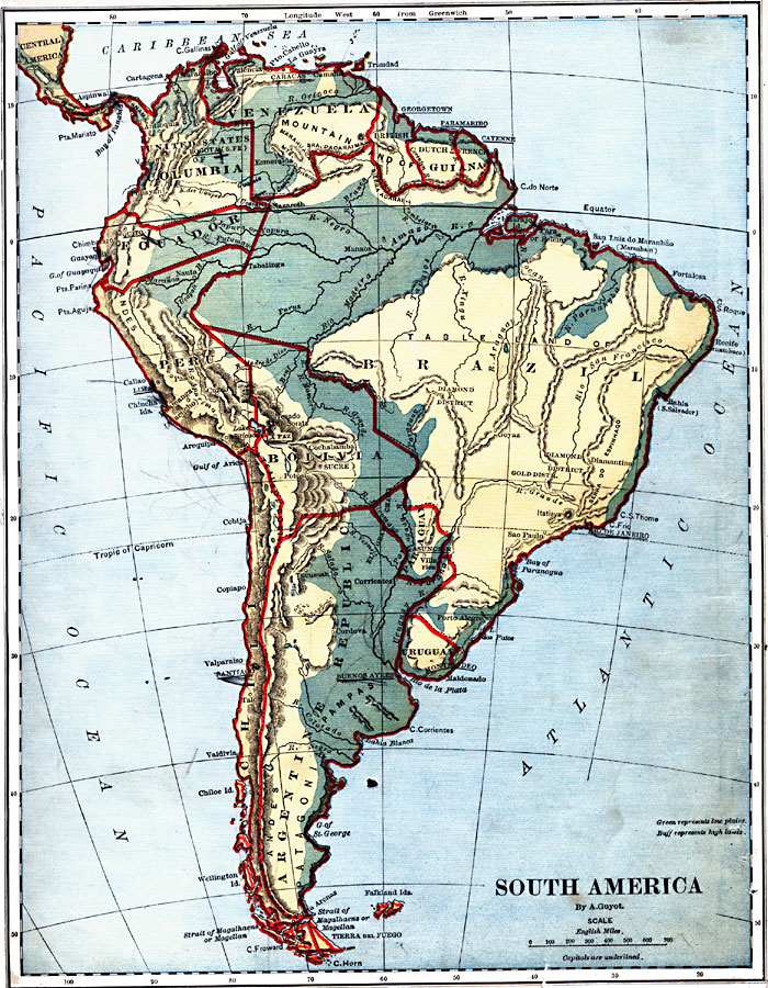
Description: A map from 1882 showing the general highlands and lowlands of South America and the national boundaries at the time. The map is color–coded to show high lands in buff tint and low plains in green. Mountain chains and systems are shown by hatchure. Major rivers are shown, and capital cities are indicated with underlining.
Place Names: A Complete Map of South America, Columbia, �Venezuela, �British Guiana, �Dutch Guiana, �French Guiana, �Brazil, �Uruguay, �Argentine Republic, �Paraguay, �Bolivia, �Chili, �Peru, �Ecuado
ISO Topic Categories: boundaries,
location,
inlandWaters,
oceans
Keywords: South America, physical, �political, physical features, country borders, boundaries,
location,
inlandWaters,
oceans, Unknown, 1882
Source: , Guyot's New Intermediate Geography (New York, New York: Ivison, Blakeman & Company, 1882) 58
Map Credit: Courtesy the private collection of Roy Winkelman |
|