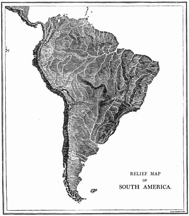
Description: A relief map from 1872 showing the terrain features of South America, including mountain systems, lowlands, river systems, and coastal features.
Place Names: A Complete Map of South America, SouthAmerica,
ISO Topic Categories: inlandWaters
Keywords: Relief Map of South America, physical, physical features, inlandWaters, Unknown, 1872
Source: James Monteith, Comprehensive Geography (New York, New York: A. S. Barnes and Company, 1872) 56
Map Credit: Courtesy the private collection of Roy Winkelman |
|