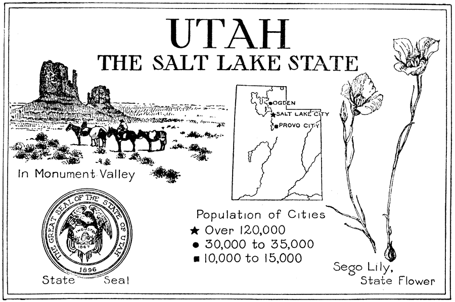
Description: A sketch map from 1921 of Utah, showing its capital, Salt Lake City, and surrounding cities Ogden and Provo City. It gives the populations of the cities shown. It also shows some of the inland waters including the Grand River and Secter Lake. It also includes pictorial representations of the state flower (Sego Lily), natural wonder in Monument Valley and the State Seal.
Place Names: Utah, Salt Lake City, �Ogden, �Provo, �Grand River, �Secter La
ISO Topic Categories: boundaries,
location,
inlandWaters
Keywords: Utah, the Salt Lake State, physical, �statistical, �inlandWatersphysical features, major political subdivisions, population, boundaries,
location,
inlandWaters, Unknown,1921
Source: Ellsworth D. Foster, ed., The American Educator Vol. 8 (Chicago, IL: Ralph Durham Company, 1921) 3727
Map Credit: Courtesy the private collection of Roy Winkelman |
|