Description: This map outlines the regions of the Polish Commonwealth that were divided up by Prussia, Russia and Hapsburg Austria.
Place Names: Poland, Warsaw, �Kovel, �Mlava, �Konitz, �Lida, �Bobruisk, �Polotz
ISO Topic Categories: society,
boundaries
Keywords: Partition of Poland, political, �historical, country borders, historical event, society,
boundaries, Unknown,1772–1795
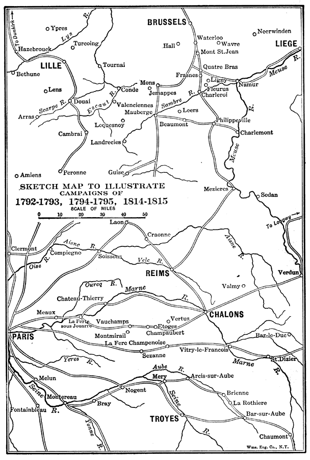
Source: Lucius Hudson Holt, A Brief History of Europe From 1789 to 1815 (New York, NY: The MacMillan Company, 1920) 142
Map Credit: Courtesy the private collection of Roy Winkelman |
|