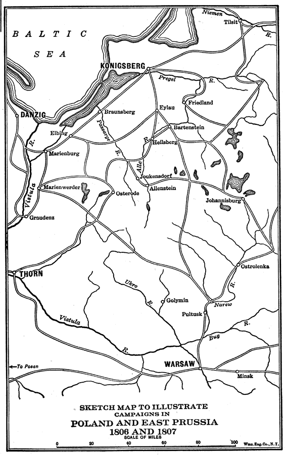
Description: A map of eastern Prussia and Poland during the War of the Fourth Coalition (1806–1807). This map illustrates the various battle sites of Napoleon's Poland and East Prussia campaigns, including Eylau, Friedland, and Tilsit, where the truce treaty was signed, ending the war.
Place Names: Poland, Warsaw, �East Prussia, �Danzig, �Konigsberg, �Ostrolenka, �Allenstein, �Marienbur
ISO Topic Categories: society
Keywords: Sketch Map to Illustrate Campaigns in Poland and East Prussia, historical, �political, �physical, kNapoleonicWars, physical features, other military,
historical event, society, Unknown,1806 and 1807
Source: Lucius Hudson Holt, A Brief History of Europe From 1789 to 1815 (New York, NY: The MacMillan Company, 1920) 240
Map Credit: Courtesy the private collection of Roy Winkelman |
|