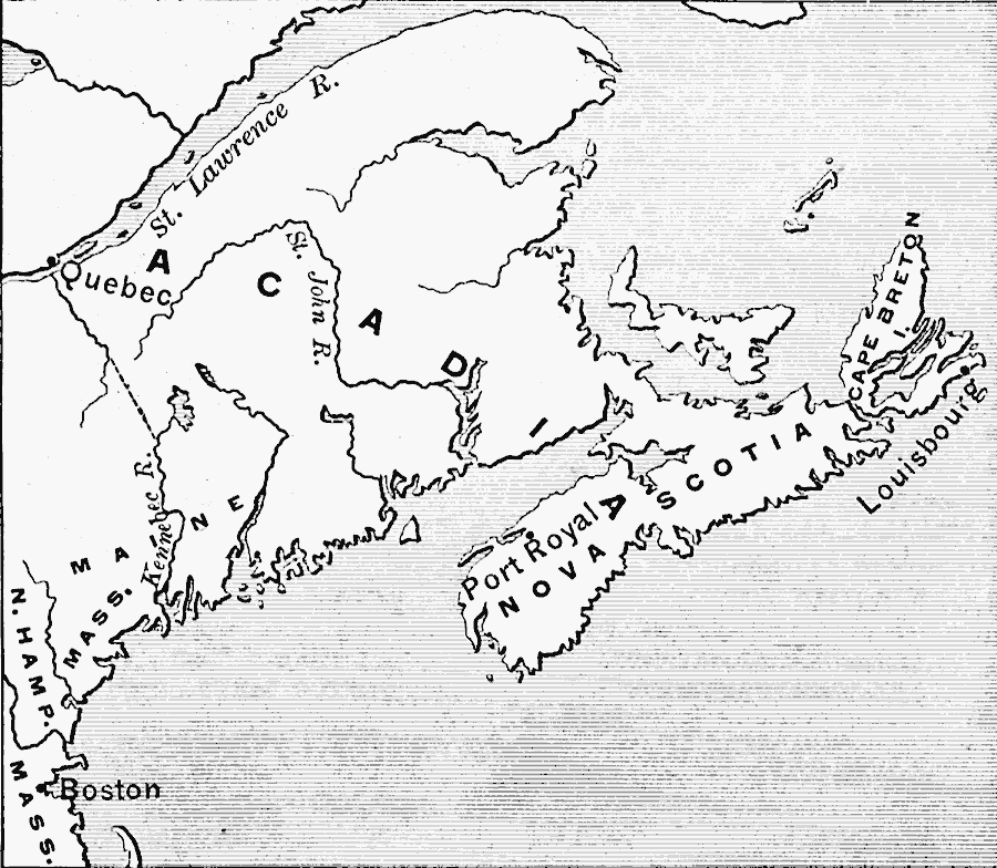
Description: A map of Acadia, Port Royal, and Nova Scotia at the time of the siege of Louisbourg on Cape Breton (1758) during the French and Indian War (1754–1763), and the route by sea between Boston and Quebec.
Place Names: Canada, Quebec, �Nova Scotia, �Bosto
ISO Topic Categories: inlandWaters,
oceans,
location,
intelligenceMilitary
Keywords: Acadia, physical, �political, �historical, �french and indian war, physical features, major political subdivisions, other military, inlandWaters,
oceans,
location,
intelligenceMilitary, Unknown, 1758
Source: Edward Eggleston, The Household History of the United States and Its People (New York, NY: D. Appleton and Company, 1898) 135
Map Credit: Courtesy the private collection of Roy Winkelman |
|